
Garfield County, anchored by Enid, is a powerhouse in the Northern Oklahoma oil and gas corridor. It is home to diverse production from the Mississippian Lime, Woodford Shale, and Hunton formations. Because Garfield County features a mix of older vertical legacy wells and modern horizontal drilling units, mineral owners often face complex title issues where […]
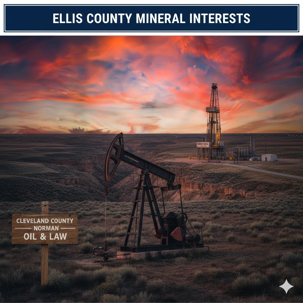
Ellis County, located on the far western edge of Oklahoma, is a crucial part of the Anadarko Basin. With heavy production in the Cleveland, Tonkawa, and Morrow sands, as well as the deeper Woodford Shale, this county remains a high-activity zone for operators like Mewbourne Oil, Continental Resources, and Apache Corporation. Because horizontal drilling units […]
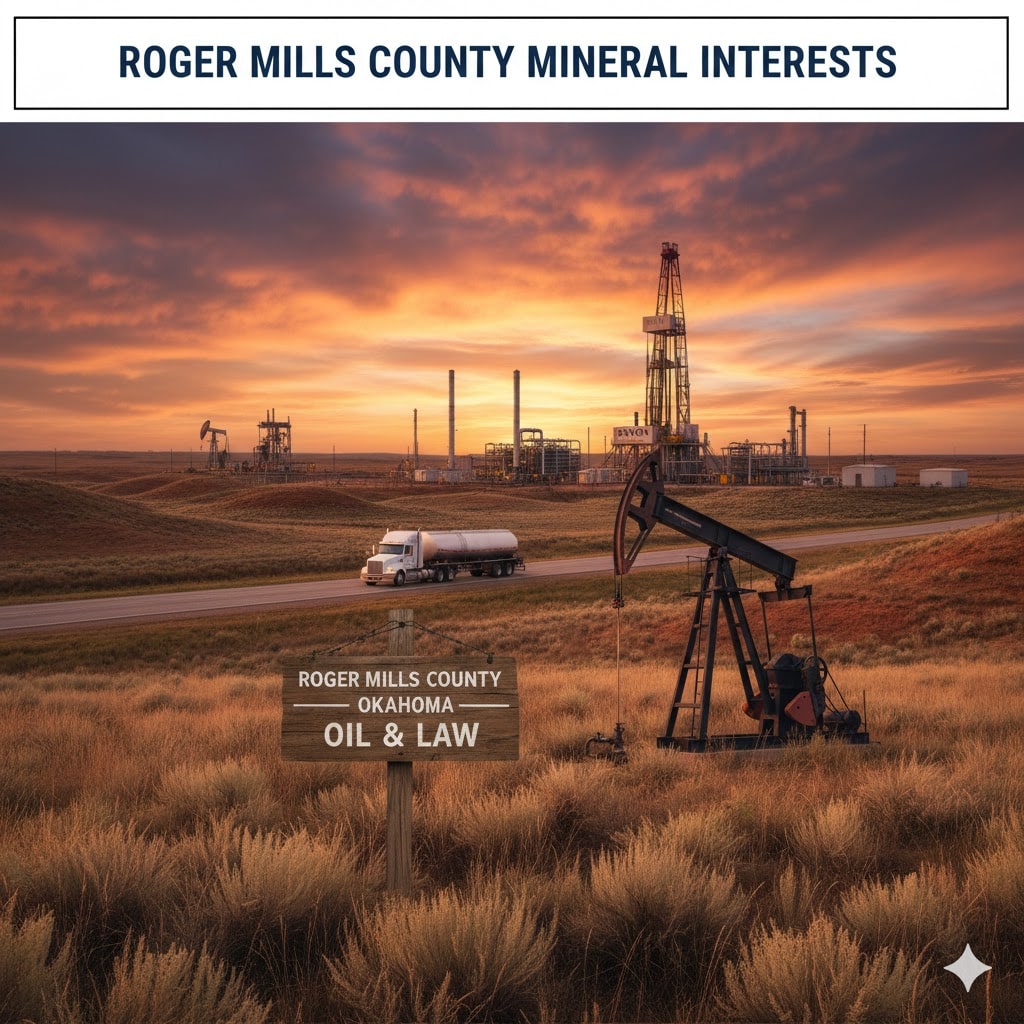
Roger Mills County, located on the western edge of Oklahoma, sits atop the prolific Anadarko Basin. This area is known for deep, high-pressure gas reservoirs and significant horizontal development in the Morrow-Springer and Cana-Woodford formations. Because of the technical complexity and high production potential of wells in this region, maintaining a clean mineral title is […]